LhasaCM
Forum Replies Created
-
AuthorReplies
-
 LhasaCMParticipant
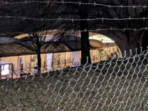
1/30/2025 – Tunnel (the Green/Yellow line heading “south” from Fort Totten)
 LhasaCMParticipant
A few scattered thoughts:
It’s tough – I’m not sure what can be done about the “education” issue.
Maybe an alternate scoreboard of something like Indiana’s idea (e.g., best 6 of 7 days in a week count, or count the top 10 of the 12 on the team each day) would be interesting to see if that tightens things, but I would be surprised if that makes a huge difference, and that still doesn’t address the inherent despair of being far behind with little hope of catching up 😀
Another complicated idea would be to treat each week like a separate “competition” – top team gets 20 points, 2nd place gets 19, etc. And then you just total up each weekly tally for a final score. It wouldn’t change the overall standings, probably, but it would give teams something to aim for (we might be in 19th overall, but let’s try to finish in the top 3 *this week*!) Or do a first half/second half sort of thing – something to remove the demotivation that comes from being in an early hole on the leaderboard by wiping the slate clean for an upcoming period. It’s like the “second chance” NCAA brackets websites run for those who made a mess of the opening weekend…
(Yes, I know there’s already the “Team Wins by Day” leaderboard, so it’s a similar idea but with longer timeframes.)
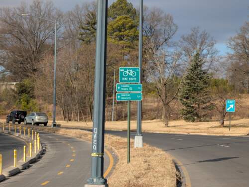
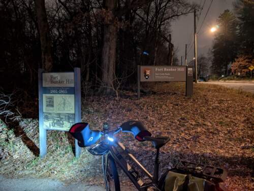
LhasaCMParticipant1/28/2025 – Sign (bike route)
 LhasaCMParticipant
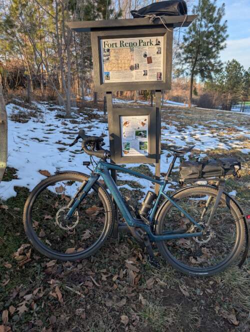
1/26/2025 – Fort Reno
 LhasaCMParticipant
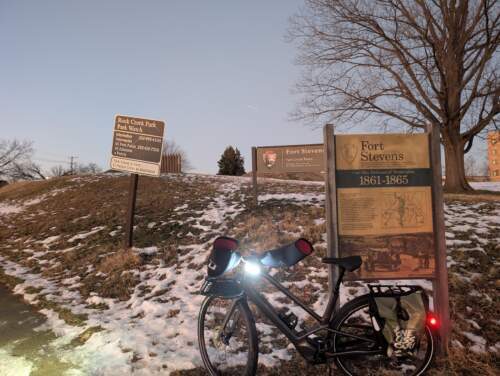
1/13/2025 – Fort Stevens (in the snow)
 LhasaCMParticipant
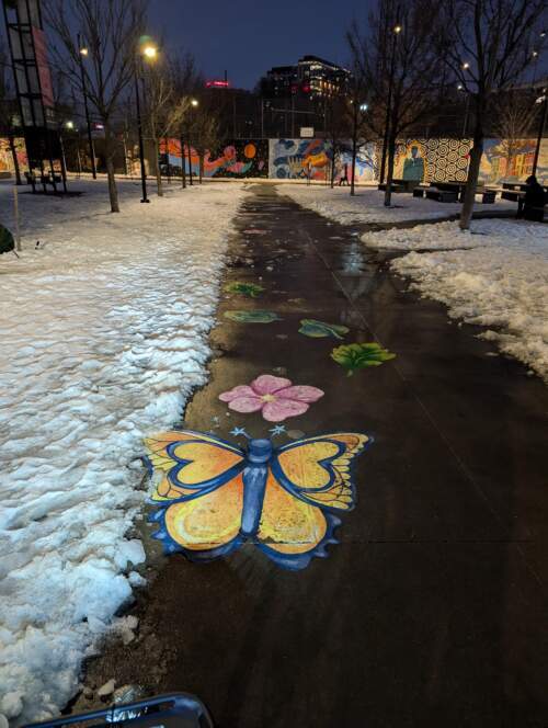
1/12/2025 – Flowers
I *was* going to take some pictures of the bouqets at “She Loves Me” in Eckington, but the person working solo in the florist seemed a bit uneasy with my presence outside the store (can’t say I blame them), so I instead went to this flower art at Tanner Park.
 LhasaCMParticipant
1/11/2025 – Synagogue
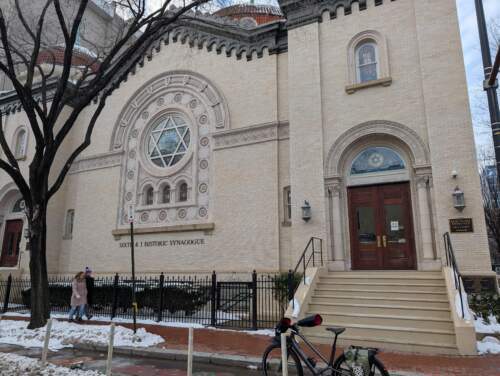 LhasaCMParticipant
1/10/2025 – Fort Totten (I do not recommend taking this picture during evening rush hour…)
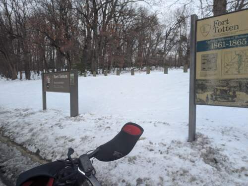 LhasaCMParticipant
1/10/2025 – Named creek/river (first one of the year – I think this is to make up for how lucky I was last year…)
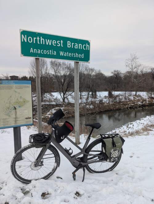 LhasaCMParticipant
Pre-snow shot of Fort Bunker Hill…
 LhasaCMParticipant
Nadine – it looks like the link to update your tribes only works when you’re “logged in” to the Freezing Saddles website, which most people are not on a regular basis.
I was able to “update my tribes” by first logging into the Freezing Saddles website (selecting “Login” in the upper right corner), going through the authorization process again (connect with Strava, choose whether FS can read just my public or also private rides), and then selecting “My Bike Tribes” from the upper right drop-down once my name is there.
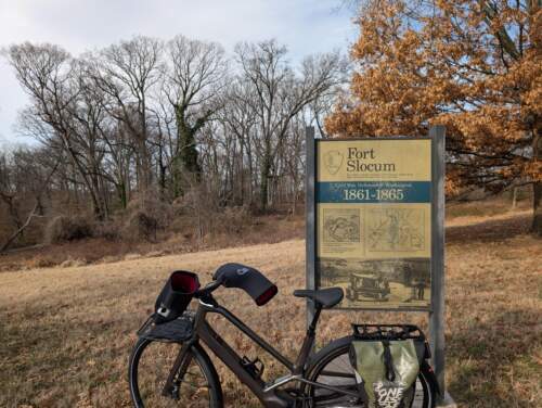
LhasaCMParticipantHere’s my picture of a sign at Fort Slocum.
 LhasaCMParticipant
Arizona was for a mix of traffic calming but also to build out the network. It’s been on the map as a needed project for quite some time – future plans call for something on Loughboro, which would then fully connect MacArthur to AU and the lanes on New Mexico. Plus, the future direct CCT connection will be nice (as it is the cycletrack also connects to that segment of the Palisades Trolley Trail and the rec center alongside of it. That trail and Sherier Place will take someone to the off-road access trail to the CCT near the corner of Norton and Potomac).
LhasaCMParticipantCount me in again – anything to help motivate the aim for each daily ride (at least until forced back to on-premises work). https://bingobaker.com/#674780d4a317172c
LhasaCMParticipantAlright – some DC updates since I last posted here (in March?!?), in reverse chronological order (so newest first):
- Work is progressing on protected bike lanes in Adams Morgan on Columbia Road as part of the bus priority project there. Some parts are installed, but still a ways out from being “done.”
- The permanent bike lanes on Florida Ave NE between 2nd and 14th are mostly done.
- Signal work remains, and the eastbound lane is closed between 3rd and 4th due to apartment building construction.
- This replaces the temporary bike lanes installed in 2019.
- A two-way protected cycletrack has been installed on Mount Olivet between Bladensburg and *almost* Brentwood Parkway.
- Similar to the cycletrack on Brentwood, it ends/merges onto the sidewalk just before the intersection.
- The intersection with Bladensburg is a bit of a YOLO one right now (especially coming from the east/south); there’s a project in the design phase for PBLs on 17th NE that will connect to this segment, but it’s not done yet.
- Construction and signal work wrapped up on M Street SE between 1st and 11th.
- A two-way cycletrack was installed on Arizona Avenue connecting Loughboro and Caroline Place (just past MacArthur).
- A future project will connect more directly to the Capitol Crescent Trail.
- A two-way cycletrack was installed on Potomac Ave SE between 17th and 19th, and alongside 19th SE up to C Street (connecting to the bike lanes there)
- There currently is a northbound PBL on 19th up to Benning Road, and the aforementioned project to connect to the Mount Olivet lanes at Bladensburg.
DC also is trying to do a better job of sharing progress on projects, with a new-ish landing page: https://bikelanes.ddot.dc.gov/
This page replaces the previous setup of separate project pages (usually with vanity URLs maintained by the contractor), and is reasonably updated. From this, and from updates given the BAC, DC has a lot in the design/”Spring 2025″ construction phase right now. Some big, many small but vital connections (like the 100 block of K NE).
-
AuthorReplies