Guess where ride picts
Our Community › Forums › Pictures & Videos › Guess where ride picts
- This topic has 610 replies, 79 voices, and was last updated 5 years, 2 months ago by
bikesnick.
-
CreatorTopic
-
January 29, 2012 at 2:42 pm #910878
dcv
ParticipantSometimes I see ride pictures posted by forum members and I know exactly where they are. I love looking for excuses to post picts of my bikes.
Guess where this is, then post one of yours. I’ll start with an easy one:
-
CreatorTopic
-
AuthorReplies
-
January 31, 2012 at 5:49 pm #935437
5555624
Participant[ATTACH=CONFIG]651[/ATTACH]
I know this one is obscure and I wondered about posting it, but it does connect two marked routes on Arlington County’s bike map, (although it’s not marked).
January 31, 2012 at 5:54 pm #935439Participant@DSalovesh 13974 wrote:
Good place to be aware of your surroundings. It will become more familiar to people once the bridge over the train tracks opens, but won’t really be useful unless we can rely on the WNY connection.
Although it is subject to closing, which makes it potentially difficult to rely on, I think it’s easier to just ignore the WNY Riverwalk and take M Street SE. That pesky “No bike riding, rollerblading, skateboarding, or scooter use permitted.” rule means it quicker to take M Street SE.
January 31, 2012 at 6:32 pm #935443DSalovesh
Participant@5555624 13978 wrote:
That pesky “No bike riding, rollerblading, skateboarding, or scooter use permitted.” rule means it quicker to take M Street SE.
Probably, for biking, and in that case I wouldn’t use the path in the picture – I’d simply stay by the tracks on M.
But (kinda off-topic for a bike forum I guess) I run there pretty often to connect RFK to Nationals Stadium. It’s kinda demoralizing to take Water Street to O, turn left down toward the WNY Riverwalk and find the gate locked with no notice. If they’d simply put a status sign there I’d at least know what to expect…
And M St. has pretty narrow sidewalks that are well used by people heading to and from the Navy Yard. If I’m running with my dog – as I often am because of my unease about the current state of the trail – when I find the gate locked I cut my run short and head home.
I think the Anacostia Waterfront projects would all do better if they included a reliable connection across the WNY Riverwalk. Routing people up to M St. doesn’t provide that, IMHO.
January 31, 2012 at 6:43 pm #935436Participant@DSalovesh 13982 wrote:
But (kinda off-topic for a bike forum I guess) I run there pretty often to connect RFK to Nationals Stadium. It’s kinda demoralizing to take Water Street to O, turn left down toward the WNY Riverwalk and find the gate locked with no notice. If they’d simply put a status sign there I’d at least know what to expect…
I do not follow it, so I don’t know if it is useful or not, but they do mention a Twitter feed on the official web page:
“Connect to the WNY Riverwalk’s Official Twitter page for real-time news and up to date operating hours.”
I agree, M Street is not an ideal solution for runners/walkers.
January 31, 2012 at 6:53 pm #935446DaveK
Participant@5555624 13976 wrote:
[ATTACH=CONFIG]651[/ATTACH]
I know this one is obscure and I wondered about posting it, but it does connect two marked routes on Arlington County’s bike map, (although it’s not marked).
This is the tunnel under Route 50 near George Mason Drive…?
My contribution (I’m re-using pics here) – You can’t really bike to this place, except when you can.
 January 31, 2012 at 6:57 pm #935447
Tim Kelley
Participant@DaveK 13986 wrote:
My contribution (I’m re-using pics here) – You can’t really bike to this place, except when you can.
That wall looks familiar. Is it one of the scenic overlooks on the GW Parkway? Taken on a BikeDC ride?
January 31, 2012 at 7:11 pm #935449Participant@5555624 13983 wrote:
I do not follow it, so I don’t know if it is useful or not, but they do mention a Twitter feed on the official web page:
“Connect to the WNY Riverwalk’s Official Twitter page for real-time news and up to date operating hours.”
I agree, M Street is not an ideal solution for runners/walkers.
I follow it. It’s useful to stay informed of the unscheduled closures they announce, but there are a lot of unscheduled and unannounced closures that are, well, unpredictable and unknowable.
January 31, 2012 at 7:19 pm #935452americancyclo
ParticipantCouldn’t resist
[ATTACH=CONFIG]656[/ATTACH]January 31, 2012 at 7:28 pm #935453Participant@DaveK 13986 wrote:
This is the tunnel under Route 50 near George Mason Drive…?
Yes, between George Mason Drive and Glebe Road. I wish I had a picture with the old lights and the mattresses….
January 31, 2012 at 7:28 pm #935454consularrider
Participant@americancyclo 13992 wrote:
Couldn’t resist
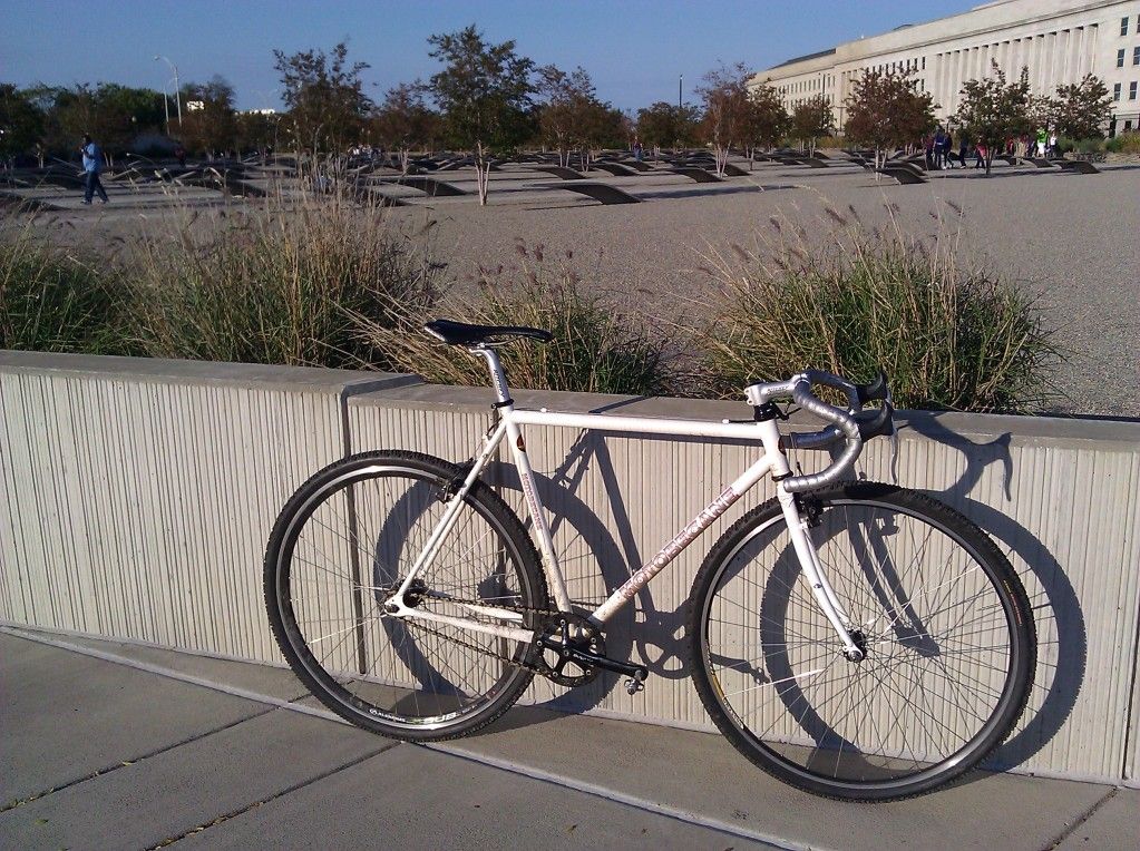
[ATTACH=CONFIG]656[/ATTACH]Much too easy, looking across I-395 from Army Navy Drive at the Air Force Memorial.
January 31, 2012 at 7:30 pm #935457Participant@consularrider 13994 wrote:
Much too easy, looking across I-395 from Army Navy Drive at the Air Force Memorial.
it’s not army navy drive
January 31, 2012 at 7:32 pm #935458ParticipantProspect Hill Park?
January 31, 2012 at 7:43 pm #935461Dirt
Participant@DSalovesh 13975 wrote:
Is there a fire station to the south?
I don’t believe so. I’ll check tomorrow when I ride in. The building isn’t super special, but the lights are pretty unique. The building is surrounded by them. They’re kind of a modern design. It is either a place that you want to or don’t want to hang out when there are big protests.
January 31, 2012 at 7:52 pm #935466ParticipantNot what I was thinking of – WMATA HQ, across from the Building Museum.
I have it pegged now (matched the cantilevered window pattern at the top), but I’m working this thread too hard so I’ll leave the reveal to someone else. Only in DC would one need a directory of Brutalist Architecture…
January 31, 2012 at 8:11 pm #935467Participant@DSalovesh 14006 wrote:
I have it pegged now (matched the cantilevered window pattern at the top), but I’m working this thread too hard so I’ll leave the reveal to someone else. Only in DC would one need a directory of Brutalist Architecture…
I’ve submitted one riding through and one looking up. I’m thinking tomorrow I need a downward perspective.
-
AuthorReplies
- You must be logged in to reply to this topic.