Bilsko
Forum Replies Created
-
AuthorPosts
-
Bilsko
ParticipantThe two patrons of the Exxon gas station on Canal at the DC side of the Key Bridge:
Patron #1: When pulling into a driveway from the roadway, turning signals help those on the sidewalk understand your intentions. Also, looking to see if there are people on the sidewalk about to move into the driveway will help you avoid hitting them.
Patron #2: When pulling out of a driveway onto the roadway, looking both ways will help you avoid hitting people on the sidewalk who have the right of way.tl;dr: Almost taken out twice at the gas station, once at the inbound driveway, once at the outbound driveway.
Participant@Tim Kelley 60918 wrote:
My best was 1:30:
http://app.strava.com/segments/2142569Not sure about the time discrepancy.
Take a look at my first ride on that list, zoom way in and show the time scale on the elevation profile. I’m using the two peaks on either side of the valley in the elevation profile as my reference points for either side of the bridge. (Strava thinks we’re dropping down to the river and back up on the other side). I hit the DC side at about 5:52 and then get to the VA peak at 7:09 – around 1:20.I recall there being a Strava segment for the bridge at one point which has probably been flagged, so i don’t have a segment to go by, but the 1:00-1:30 range should cover about any effort to get across the bridge.
Participant@birddog 60911 wrote:
Car traffic lanes: http://app.strava.com/activities/74606883#1480518676. 0.4 miles in 01:10.
I’ll try the pedestrian lanes tomorrow.
FWIW, without hammering, it usually takes me between 1:00 and 1:20 on the West side sidewalk at 8/815 in the morning or 5/530 in the evening:
http://www.strava.com/activities/74345263
http://www.strava.com/activities/71369488
http://www.strava.com/activities/70649253ParticipantThey might one day make it a supported trail, if the Pentagon ever cedes to having trail-traffic skirt the boundaries of that boat-docking facility that they have there.
Participant@DismalScientist 60587 wrote:
Somewhere in the depths of Strava software they thought a “climb” near the airport on the MVT was 400 ft or so. Although the elevation has be corrected, it still shows on many accounts as the biggest climb. The only way to fix this is riding up this a few times: http://www.strava.com/segments/609651
Yeah, Strava can’t handle bridge elevations (ever look at the elevation when you cross Key Bridge and see the big dip on one side and climb on the other? It thinks you rode right through the Potomac)
I had one instance where it had me ride 500+ feet from the Georgetown Waterfront up onto the Whitehurst Fwy in a distance of 100 ft or so. It appears they scrubbed that segment/climb.
Veloviewer should help you pinpoit data errors.
Participant@rcannon100 60602 wrote:
There was one geocaching game that we played. It was really fun. It might just work in this form.
The cache container was a magnet. The name of the cache was something like the DC Area Rapid Transit cache (DC ART). The cache would be placed somewhere (obviously that can take a magnet). The person placing the cache would then post the coordinates along with a hint of where the container was. We would all scramble out trying to find the cache at the new location. Person who finds it gets credit for the find and must now hide it in a new location – and then post the location and a hint (or story or associated joke). And the cache continuously moves throughout the area. A pointless game of hide and seek.
The rule is that the cache had to stay within 30 miles of the Washington Monument (keeping it in the DC area).
Are people hip on this? I can try to make an appropriately decorated cache tonite and we could start the game. The rule could be something like keep it (how far is purceville, 53 miles??) within 53 miles of the Washington Monument. And then the cache can wander throughout our little territory.
I kind of like the hide-and-seek concept, but I’m not sure I’m following on the use of a magnet – is that just so you can attach it to a lightpost or something for hiding purposes? Would that discourage using other hiding settings?
Another bounding element that you might consider (in addition to geographic boundaries) is, at a micro level, what the magnet (or other item) can be hidden with or to. Ie. you must hide it attached to a metalic sign – or similar criteria. That would help limit the amount of searching around people have to do. Cause nothing says suspicious like having a smelly, commuter-dressed cyclists digging around the Mall by the Washington Monument looking for a “magnet”
Participant@mstone 60567 wrote:
That was my immediate thought as well.
Beer ‘skunking’ is typically more a product of exposure to light than heat – but agreed drinking a warm beer is awful, skunked or not.
You could require that all cached beers are placed in a stream to keep cool-ish.
Or just go with Mikey’s idea, which is much better anyways
ParticipantDirt, going the wrong way:
 Participant
Oh Sean, that’s so corny:
 Participant
The gang’s all here –

Scroll to the bottom of this album for a few more: https://plus.google.com/u/0/photos/100420944078912392494/albums/5835707600588481553
ParticipantAmazing to see which states had little or no riding.
And then there’s Saskatchewan. Seriously. One rider logging Strava miles in the entire province.
And don’t get me started on Nunavut or the Northern Territories. Tuktoyaktuk…really? Nobody on a Moonlander last Saturday?
Cool to see spots like Western MA and NH, NC, GA, and the Western states all lit up, thougn.
Participant@KelOnWheels 60452 wrote:
ZOMG I want these SO BAD and they only made 50 pairs and they’re all gooooooooone!
[ATTACH=CONFIG]3438[/ATTACH]
i have the DZR slip-on (vans style) shoes with the recessed 2-bolt cleat mount. They’re nice.
Participant@Dirt 60413 wrote:
Snugglebikes

I had to deliver a loaner bike last night on my way to the shop ride. It was fun.
Somebody’s gonna have some fun on Sunday morning…
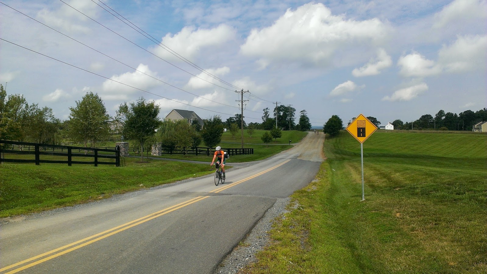
ParticipantIf gravel is your thing, there’s plenty of climbing goodness in this ride:
http://app.strava.com/activities/52564025The last climb is a hard 10%+ push – only for about 3 miles, but at the tail end of 75 miles, you’re working for it.
ParticipantYou: The cyclist on the RCP trail sidewalk section right by the Lincoln Memorial, right between the John Ericsson memorial and the memorial bridge – who was on the far left of the sidewalk and *swerved to the right* when I called out my “on your right” pass.
Thank you.
Now I have nearly all the raw parameters I need to calculate the coefficient of friction for my tires. I know the velocity I was traveling and the mass of my bike + me + my messenger bag. I can find out the physical characteristics of the pebble aggregate for the sidewalk and the rubber compound used in my Clement tires. Despite the rain earlier today, the sidewalk was dry, so I should have a pretty good measurement of just how much force it took me to skid to a halt as you pulled over right into my path.
Oh and, I wasn’t trying to be funny when, as I swerved around to your left, I said: ” Guess I mean ‘On your left’ then”.
Sheesh.
/unfriendly tired rant
-
AuthorPosts