Let’s talk about Rosslyn
Our Community › Forums › Arlington Bicycle Advisory Committee › Let’s talk about Rosslyn
- This topic has 33 replies, 10 voices, and was last updated 10 years, 4 months ago by
PotomacCyclist.
-
AuthorPosts
-
November 20, 2013 at 3:39 pm #986408
GB
ParticipantAre there, or are there plans for, a requirement that buildings with X parking spaces also provide Y shower/locker room facilities? (For me locker rooms are more important than bike lanes in getting me to bike to work).
November 20, 2013 at 3:48 pm #986411 chris_sParticipant
@GregBain 69677 wrote:
Are there, or are there plans for, a requirement that buildings with X parking spaces also provide Y shower/locker room facilities? (For me locker rooms are more important than bike lanes in getting me to bike to work).
Arlington’s standard site plan conditions have required this for years, so it has applied to almost all new office buildings in Arlington.
D. Requirements for showers and lockers:
1) For Office Uses:
a. For every 50,000 square feet or fraction thereof of office Gross Floor Area
(GFA), one (1) shower per gender, up to a maximum of three (3) showers
per gender, shall be installed for buildings 300,000 square feet of GFA and
below, and one (1) shower per gender for each additional 100,000 square
feet of GFA or portion thereof.b. The showers shall be located in a safe and secured area.
c. Approval of Location, Layout and Security (Footing to Grade Permit)
A minimum of one (1) clothes storage locker per gender shall be installed
for every required employee bicycle parking space. The lockers shall be
installed adjacent to the showers in a safe and secured area. Before
issuance of the Footing to Grade Permit, the Developer agrees to obtain
the review and approval of the Arlington County Police Department for
the location, layout and security of the showers and locker room. The
Arlington County Police Department will approve the location, layout and
security of the showers and locker room if it finds them to be reasonably
safe and secure.d. The lockers shall be a minimum size of 12 inches in width, 18 inches in
depth and 36 inches in height, and shall be available to bicycle commuters
during normal building operating hours; provided, however, that bicycle
commuters shall be permitted to use the lockers for storage 24 hours per
day, 7 days per week.e. Both the showers and lockers shall be available to all tenants of the
building.
(Source with more detail)November 20, 2013 at 3:55 pm #986412chris_sParticipantThanks to dasgeh and Kolohe for the detail on the Meade St / Iwo Jima issues! The current proposal calls for bike lanes the entire length of Meade (and I know the existing plans for the Meade Street bridge replacement include bike lanes) but dealing with the merges from 50 is going to take some care in the final design. I’ll include all of your excellent points on the difficulty of actually getting between Meade and the trails/roads around Iwo Jima effectively in either direction. I think that intersection where they often put up the temporary traffic light could be a great spot for a HAWK signal once the connection on the east side of Meade has been improved.
I worry about how much of this is going to require the cooperation of NPS. *sigh* Baby steps.
November 20, 2013 at 3:56 pm #986413americancyclo
Participant@Kolohe 69671 wrote:
what has helped it that they occasionally put a temporary traffic light here http://goo.gl/maps/GJ05I (I think a couple weeks before the July 4 fireworks – or it may have just been for construction and resurfacing last year) which slows things down too.
@dasgeh 69675 wrote:
Bonus points if there’s a light at the top of that new ramp, so bikes can safely continue on the 50 service road and onto the new trail along 27.
In the afternoon rush hour times, I often ride past the carillon and up the ramp around Iwo Jima, using the curb cut and merging with northbound traffic on North Meade, then make a left on Arlington Blvd (access rd). From my perspective as a westbound afternoon cyclist the temporary light that was at N. Meade and Arlington Blvd access Rd was AWFUL. It forced me to stop at an intersection that never had enough traffic to pose a problem. Now that it is gone, I can slow down for any through traffic (there is hardly any ever) and make that left without having to stop and wait.
It might differ at other times of the day and in different directions, but from my limited personal perspective, I would not want a light there.
Has anyone linked to this map/survey yet?
[h=4]Rosslyn’s Future Bicycle Network:[/h] If you cycle to or through Rosslyn – or if you would do so if safer, more inviting routes were available – your perspectives, stories, and ideas regarding the existing network and potential changes that could improve the bicycling experience through Rosslyn are important to us. Click the link below to share your thoughts, which will be added to the collection of community input being gathered to help inform and shape the elements and direction of the updated long range plan for Rosslyn.
http://sites.arlingtonva.us/rosslynsector/process-and-schedule/survey/
November 20, 2013 at 4:01 pm #986415chris_sParticipant@americancyclo 69682 wrote:
Has anyone linked to this map/survey yet?
The proposals being discussed were formed partly off of the results of that survey.
November 20, 2013 at 4:07 pm #986416dasgeh
Participant@chris_s 69622 wrote:
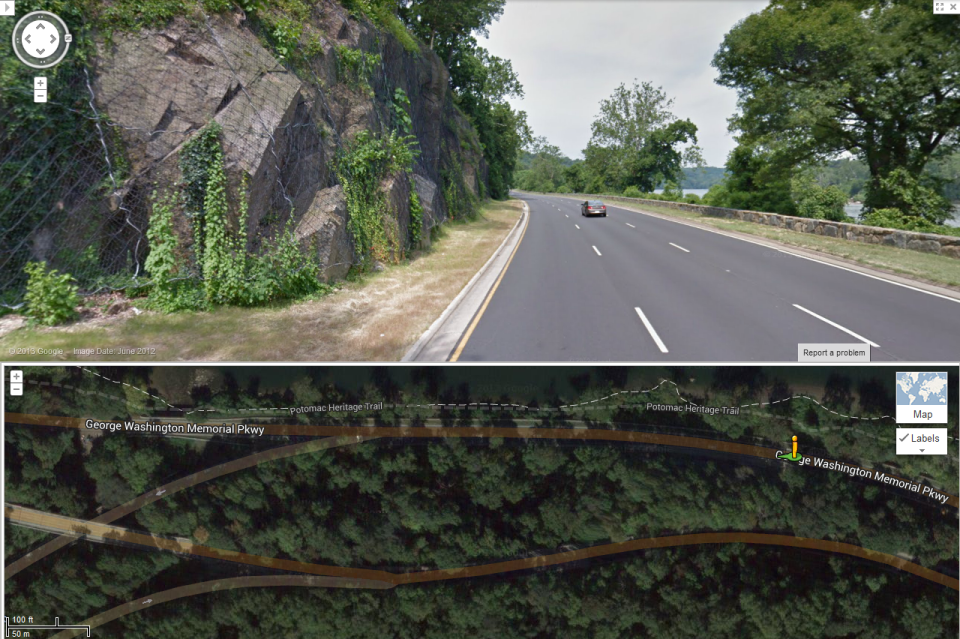
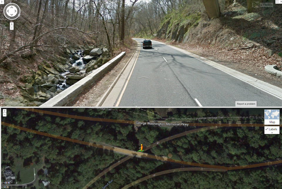
3) Rosslyn – GWMP – Spout Run connection
I believe I know the kind of connection/route you’re suggesting here and that it has been deemed infeasible in the past (when they were looking at continuing the MVT all the way through Arlington) as too expensive / too environmentally destructive / too historical viewshed-destroying. Would love to hear more detail though. Perhaps it’s different or perhaps things have changed.
The attached shows what I’m talking about. Note that in this area, eastbound GWMP is lower than westbound GWMP – the blue line would be the trail, and while it looks like it crosses eastbound GWMP, it just goes under it.
Basically it would be a two way path/cycletrack along the south/west side of Spout Run then the GWMP then the ramp to Rosslyn. This isn’t a path along the Potomac (which I believe was recently discussed as too expensive / too environmentally destructive / too historical viewshed-destroying). I actually saw this path in an OLD master plan — wish I had noted which one. Most of it would be easy to build — I believe there’s plenty of width on the ramp to Rosslyn and along the GWMP. The issue would just be along Spout Run and getting it back to Lyon Village, but there are options.
[ATTACH=CONFIG]4092[/ATTACH]
November 20, 2013 at 4:11 pm #986418Participant@chris_s 69622 wrote:
5) Improve Key Blvd — Key Blvd/Scott St (or 18th St, if that becomes a bike/ped street through Rosslyn) connection
By “improve” are we talking like bike lanes all along? Or some sort of Bicycle Boulevard treatment? Or are you kinda open to whatever staff thinks might be best in that regard? My biggest issue with that connection is the crazy steepness of the trail section that connects the two pieces of Key Blvd and I’m ‘not sure what a good alternative is there. I don’t really have a big issue with Key east of there.
I would expect Bike Boulevard treatment for Key Blvd, at least in Lyon Village, but here I’m focused on getting from the Lyon Village part to the Rosslyn part. I see no reason why you couldn’t suspend a bridge over the ravine there, smoothing out that path, and improve the entrances to the path to make it clear that this is a real transportation connection. On the Rosslyn side, you currently bike through this odd parking lot thing, and it’s hard to find. If you extend 18th, it might be better to route the trail there, so 18th ends in a nice transition to path, just like Key Blvd does on the other end.
November 20, 2013 at 4:18 pm #986421Participant@americancyclo 69682 wrote:
In the afternoon rush hour times, I often ride past the carillon and up the ramp around Iwo Jima, using the curb cut and merging with northbound traffic on North Meade, then make a left on Arlington Blvd (access rd).
One improvement they could make RIGHT NOW is to align the curb cut with where the trail comes up, so that bikes don’t have to ride on that NARROW sidewalk. It’s not the hugest deal, but there are often tourists up on the sidewalk at the top of the hill, leading to this weird “excuse me, I’m going there” dance.
November 20, 2013 at 6:44 pm #986437chris_sParticipant@dasgeh 69685 wrote:
Basically it would be a two way path/cycletrack along the south/west side of Spout Run then the GWMP then the ramp to Rosslyn. This isn’t a path along the Potomac (which I believe was recently discussed as too expensive / too environmentally destructive / too historical viewshed-destroying). I actually saw this path in an OLD master plan — wish I had noted which one. Most of it would be easy to build — I believe there’s plenty of width on the ramp to Rosslyn and along the GWMP. The issue would just be along Spout Run and getting it back to Lyon Village, but there are options.
There are some challenges to that route I believe…
Not saying it’s unworkable; no bike route anywhere is a cakewalk.
November 21, 2013 at 5:09 pm #986534rcannon100
ParticipantAt one point the Intersection of Doom had a bunch of redesigns. I think they may have been official. Like tunneling the bike path underneath…. and some other options. Does anyone know where that documentation is? Would probably be good to have for this discussion.
Even a year or so ago, I remember big promises that the solution was right around the corner. Any documentation of what that solution – which did not materialize – was?
Again, the prob of the Intersection of Doom is not so much design as it is five jurisdictions that must get on board the solution: Arlco, VDOT, NPS, Priv Prop, and even DC I understand.
November 21, 2013 at 5:23 pm #986535chris_sParticipant@rcannon100 69805 wrote:
At one point the Intersection of Doom had a bunch of redesigns. I think they may have been official. Like tunneling the bike path underneath…. and some other options. Does anyone know where that documentation is? Would probably be good to have for this discussion.
Even a year or so ago, I remember big promises that the solution was right around the corner. Any documentation of what that solution – which did not materialize – was?
The “short term” project: N. Lynn Street Esplanade and Lee Highway/Custis Trail Safety Improvements
That web page links to both the Esplanade Study and the Rosslyn Circle study which both have looked extensively at the problem (in various ways) and have some longer-term options.
I have an email into Arlington’s Capital Projects manager asking for an update timeline on the Esplanade project as it is WAY behind the original schedule.
November 21, 2013 at 6:05 pm #986547chris_sParticipant@chris_s 69807 wrote:
I have an email into Arlington’s Capital Projects manager asking for an update timeline on the Esplanade project as it is WAY behind the original schedule.
Response:
Chris, The 90% engineering plans are scheduled to go to VDOT in January. This a behind the web page schedule and we will again be updating.
I will additionally be adding in some new photos of the custom fence posts and some new details of bridge design.We had a contract dispute with the design consultant regarding new task fees and current scope. This set us back about 5 months I am sorry to say but it has been contractually resolved and all parties are back at work.
December 2, 2013 at 6:54 pm #987296chris_sParticipantPOKE POKE
Anybody else?
January 24, 2014 at 3:23 am #991937Participant@dasgeh 69612 wrote:
2) Separate bikes from others along the Custis sidewalk
So I proposed the above, someone asked for an example of what I was talking about and I’ve been thinking about it ever since. Then I saw this. The one labeled “Sloping curb in Portland, Oregon” (most of the way down) is what I envision.
January 24, 2014 at 5:28 am #991938 Steve OParticipant
@rcannon100 69617 wrote:
1. Fix the Intersection of Doom
2. See #1
3. See #1
4. See #1
5. See #1
6. See #1
7. See #1
8. See #1
9. See #1
10. See #1For those interested in an interesting solution, I posted this a couple of years ago. The beauty of it is that it requires no new bridges or tunnels and removes the conflict entirely. The ugly of it is that it requires a lot of players (NPS, VDOT, and a private landowner) to agree.
http://greatergreaterwashington.org/post/12248/redesign-could-improve-dangerous-rosslyn-intersection/ -
AuthorPosts
- You must be logged in to reply to this topic.