Bike trail at Jefferson – Part 3 of 3
- This topic has 18 replies, 10 voices, and was last updated 12 years, 6 months ago by
.
-
Topic
-
The two crosswalks (the first is by the CaBi docks and the second is further east) have straight box style curb cuts. We discussed the potential for replacing them with a flared curb cut similar to the ones across East Basin Drive. Thoughts?

If you’ve not noticed, as you come down from the bridge you see no signs or notices that tell you that East Basin Drive is a one-way street. I’d hazard a guess the lack of signs would be grounds for dismissing any tickets for salmoning to the east. They may take the existing signs (that tell the two park police officers that park across the street the road is one-way) and install signs facing the cyclists. Look at the first photo in the “1 of 3” posting in this series.

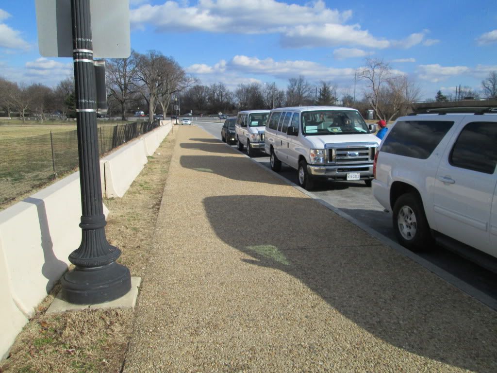
I highlighted the challenges with crossing East Basin Drive and getting on the sidewalk during tourist season. We discussed the possibility for converting the “no standing or stopping” parking area into a 15th Street cycletrack style bike lanes. The cycletrack would extend for the block and would deliver cyclists to the curb cut east of the Jefferson driveway. For that to work would require active enforcement regarding the “No stopping or standing” prohibition.
Another idea to deconflict the trail in front of the Jefferson (that one block) was to extend the asphalt trail on the point of land between East Basin Drive and the I-395 on ramp. While it would reduce salmoning in front of the memorial, it would push the crosswalk to a location with slightly reduced sightlines. It is shown in the Google sat photo as a crudely drawn line.

- You must be logged in to reply to this topic.